Geomatics
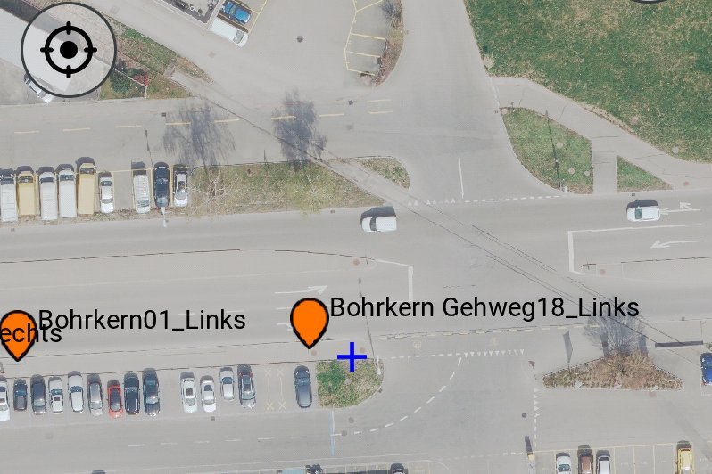
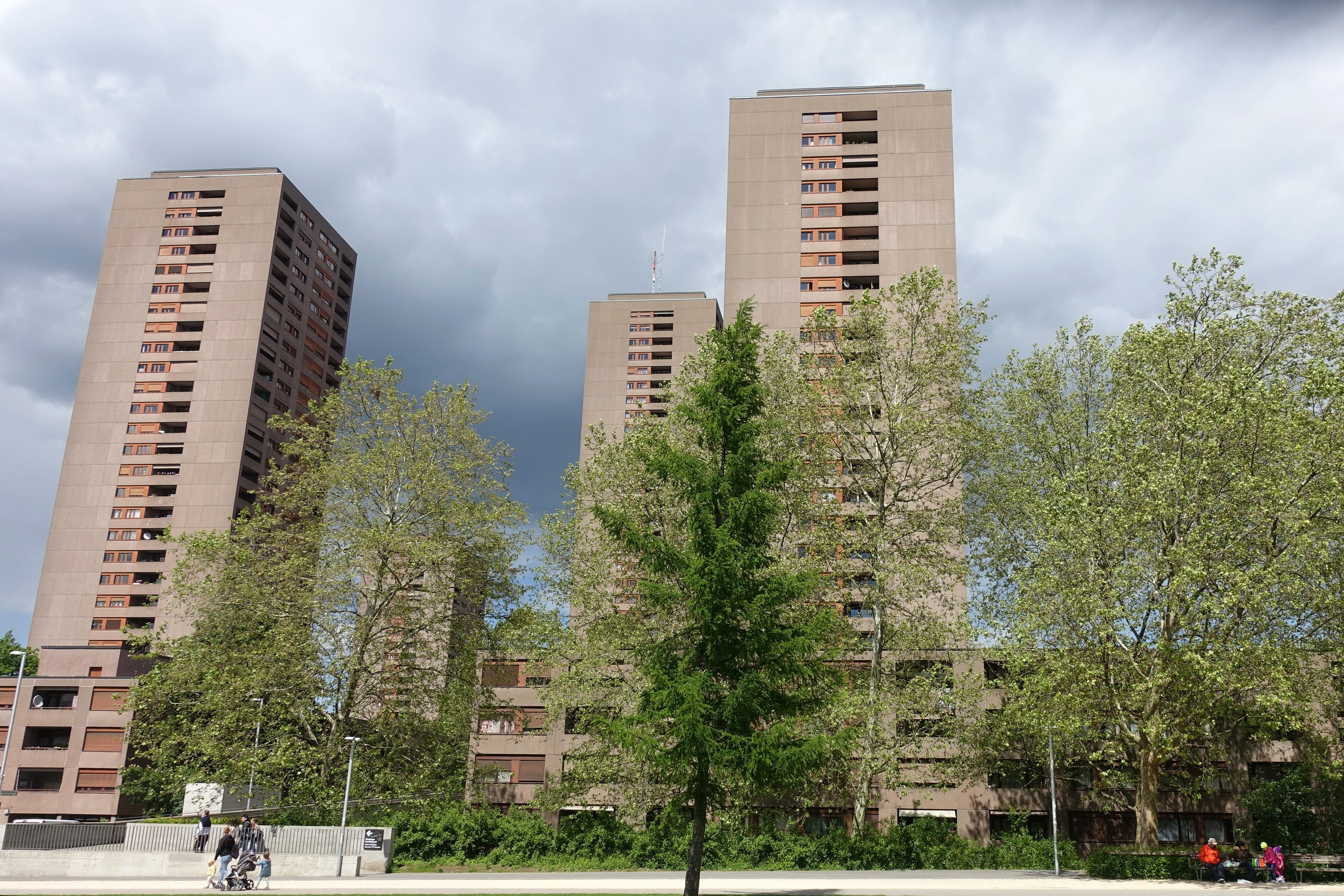
In addition to classic surveying and monitoring work in building and infrastructure construction, we can also help you with unusual surveying tasks such as precision surveying for industrial plants, terrain modeling in challenging terrain, facade surveying or displacement measurements in the sub-millimeter range.
Surveying concepts for special challenges
Thanks to technologies such as smartphones and drones, even non-experts can now carry out simple measurements. As geomatics engineers, we are there for you when it comes to developing sophisticated measurement concepts and data processing procedures that go beyond the standard. Our broad-based team is at your side with expertise and experience in the fields of Geomatics, Geoinformatics and digitization. With our specialist knowledge and the latest geodetic and geotechnics sensors, we meet the increased requirements for accuracy and Safety and Security.
Our services for you
- Advice on surveying strategies and techniques, software
- Construction management services
- Creation of measurement concepts
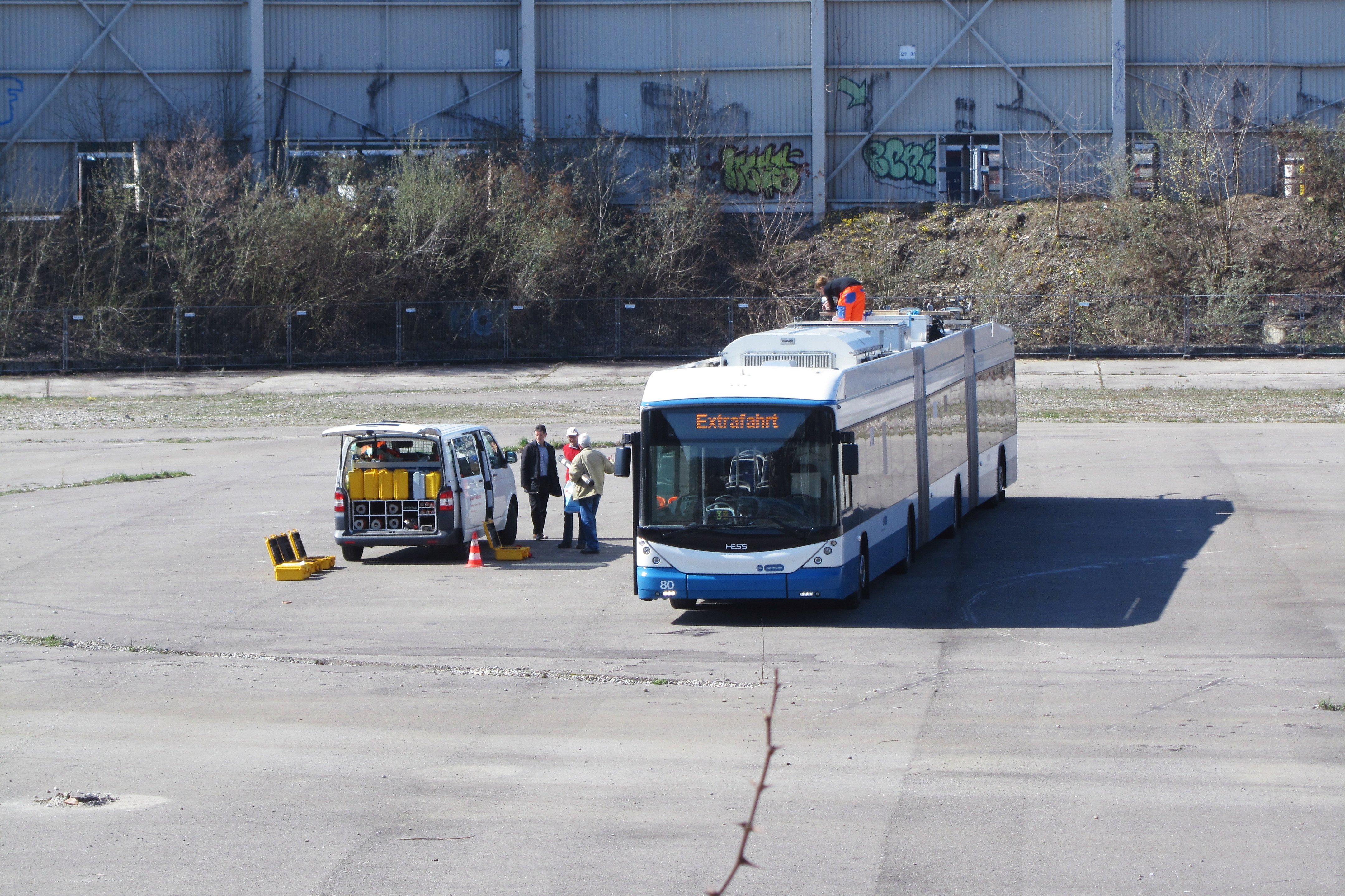
- Precision surveying for industrial and construction applications
- Geodetic monitoring and geodetic monitoring
- Long-term GNSS measurements
- Terrain and volume modeling, e.g. for digital terrain models
- Staking out facades
- Target/actual comparisons, building inspections
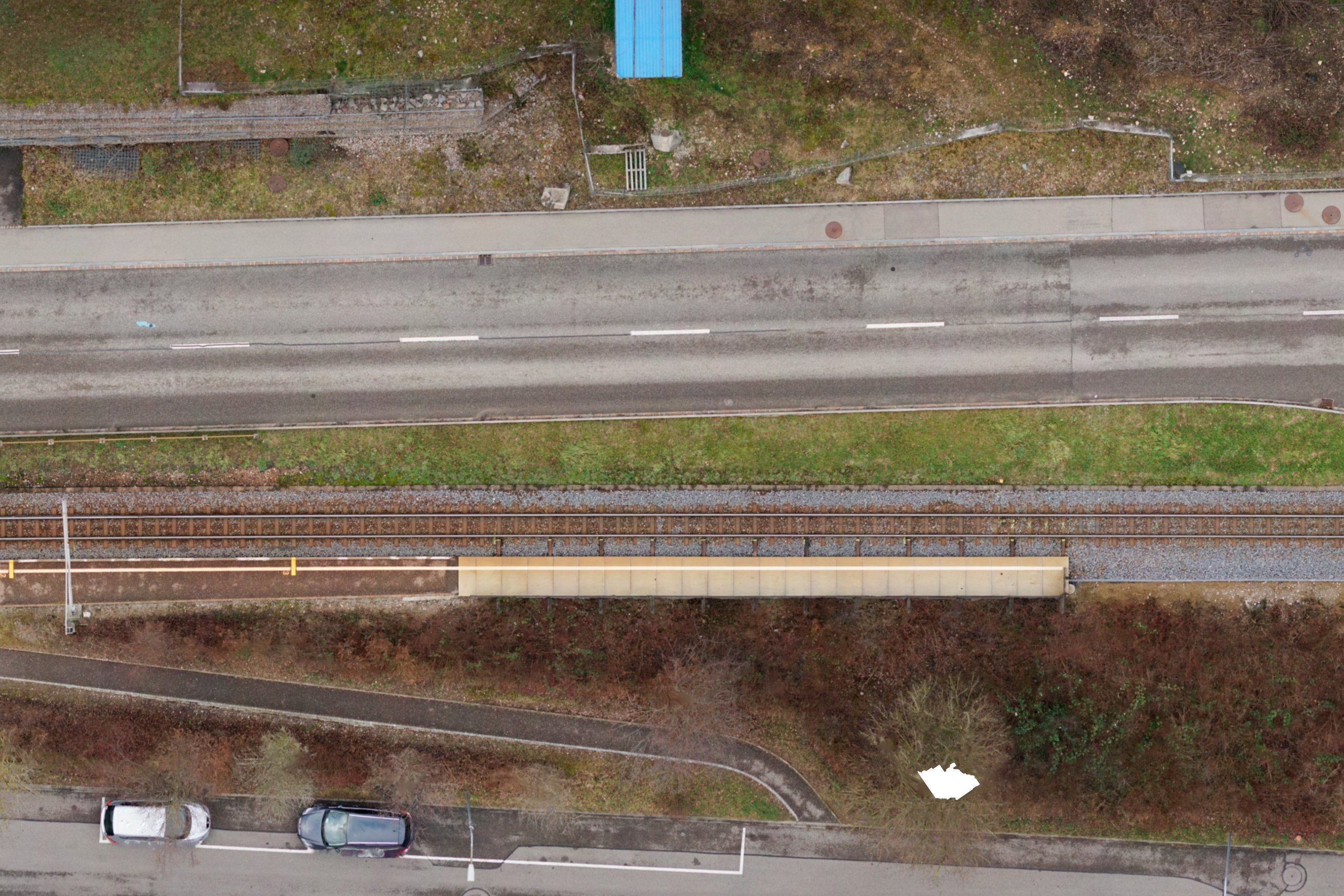
- Hydrographic surveying of water bodies, rivers and lakes
- 3D laser scanning, UAV drone flights and photogrammetry
- Data processing and management, e.g. combining measurement data from different sources and accuracies, supplementing 2D data with third-party data to create 3D models
- Surveying expert witnesses
- Programming of monitoring dashboards
Are you looking for an experienced partner? We will be happy to advise you.