Surveying Infrastructure
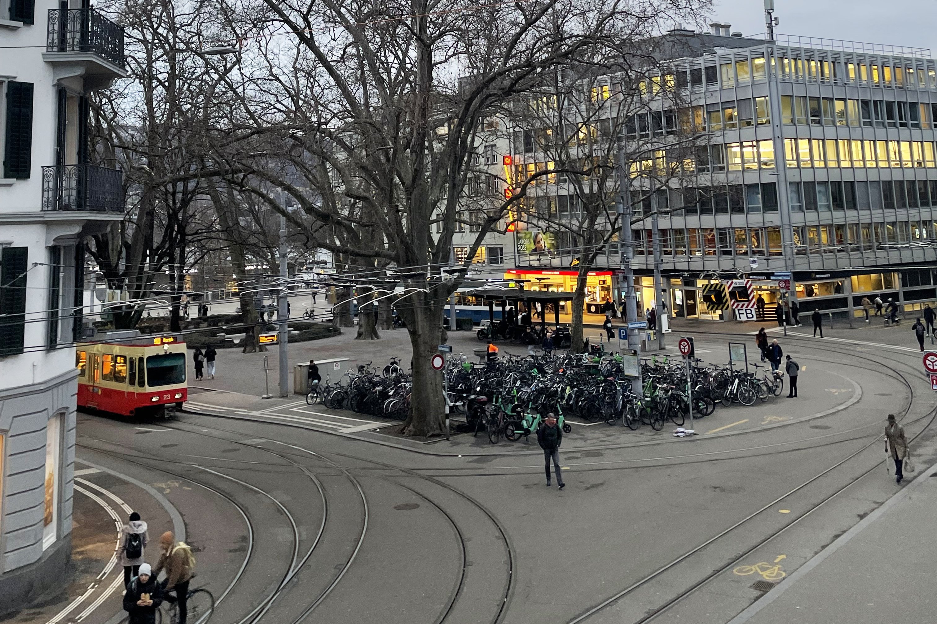
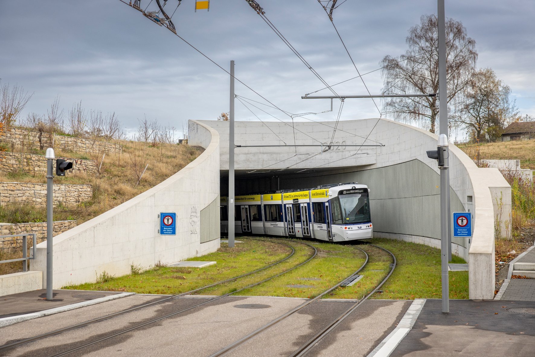
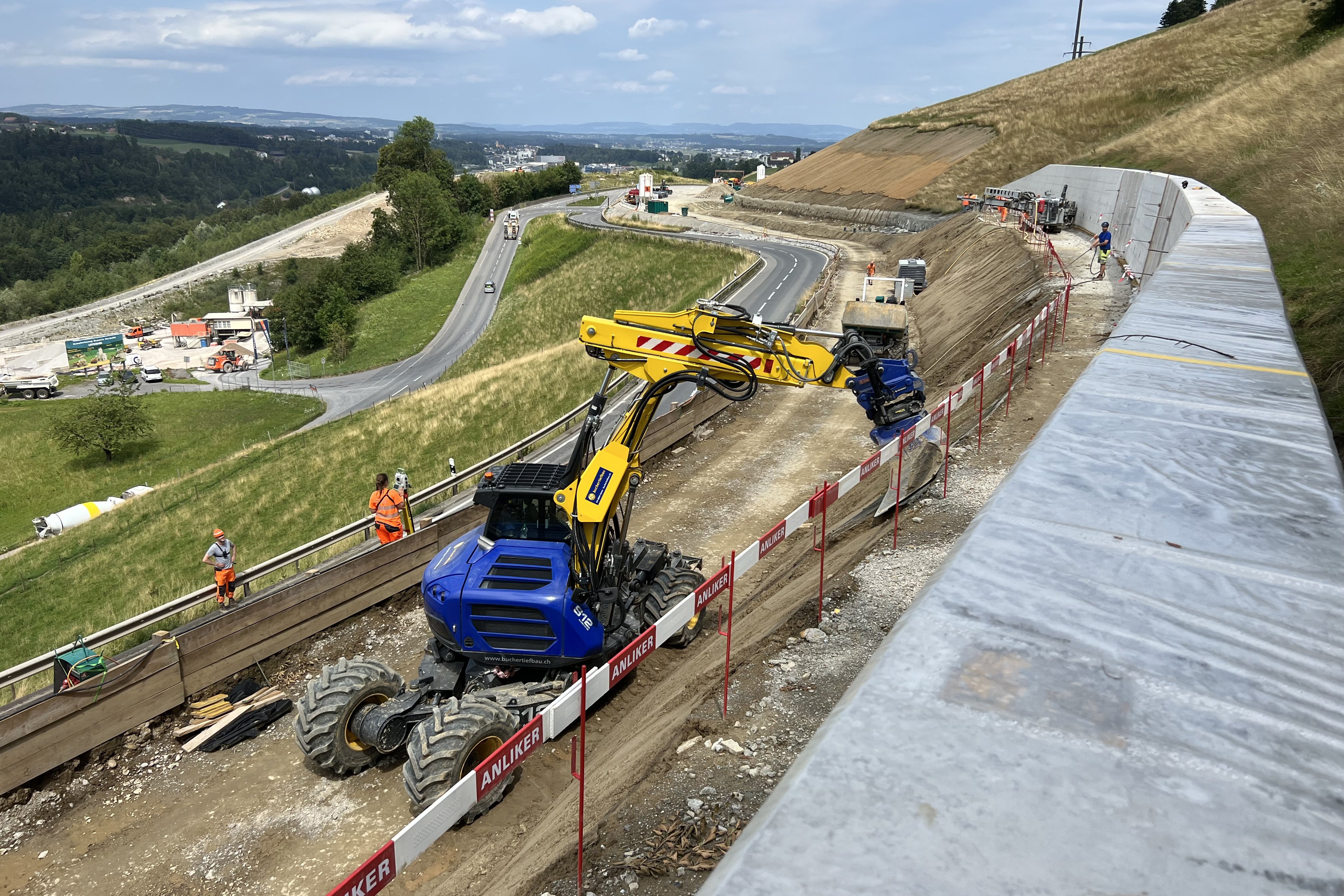
Reliable surveying is essential for infrastructure projects. We collect the necessary data for your project using the latest surveying techniques. Whether you need a digital terrain model for a road construction project, a fixed point network for the route planning of a new railroad or a tunnel heading measurement: our experienced team will create the right measurement concept for you.
From total stations to mobile digital 3D laser scanners
Our broad-based team is at home in all disciplines of Geomatics. Thanks to our experience with the full range of available measurement technologies, we can find the right method for every project - be it using drones from the air, mobile laser scanning or geotechnics sensors. We work with you to determine your needs and advise you on the most suitable surveying method.
Our services for you
- Client measurement
- Creation of measurement concepts
- Creation of fixed point networks
- Topographic surveying and digital terrain models
- As-built surveying: 3D laser scanning and point clouds as the basis for Building Information Modeling (BIM)
- UAV/drone flights: Aerial photography, orthophotos
- Railroad surveying
- Construction surveying: basic recording, setting out and construction inspections
- Grading inspections
- Construction machine control, BIM2Field
- Construction monitoring and surveillance measurements (also in accordance with SBB I-50009)
- Geodetic monitoring: deformation and settlement measurements, hose spirit level measurements, crack monitoring
- Vibration and noise measurements
Are you looking for an experienced partner? We will be happy to advise you.