Surveying for the revitalisation of the Ron
The Ron forms the outflow of the Rotsee near Lucerne. In order to better protect the communities of Ebikon, Buchrain, Dierikon and Root from flood damage, the Ron is being widened and revitalized along two thirds of its length. Basler & Hofmann is mandated with the project planning from the invitation to tender through to commissioning, including site supervision. We are also responsible for the client's survey.

Are you looking for an experienced partner? We will be happy to advise you.


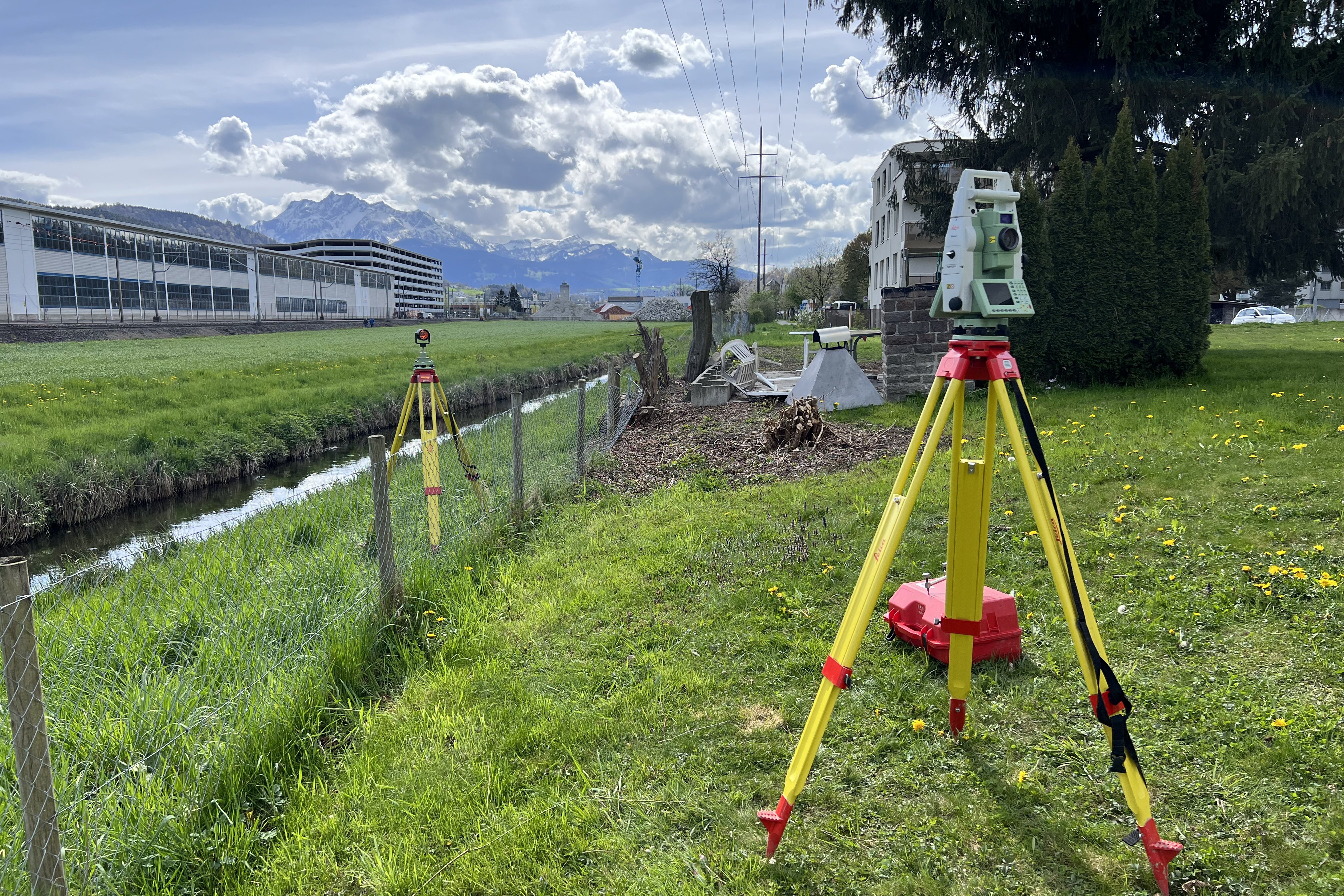
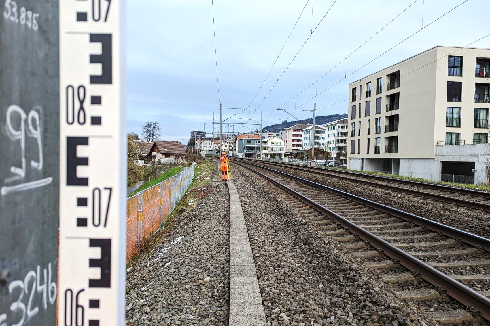
To improve flood protection and revitalization, various walls have to be built or moved back, bridges widened or raised and culverts renewed. We are responsible for the client survey in the project. Local geodetic networks for the numerous engineering structures and a contractor GNSS fixed point network are being created across the entire project perimeter. Monitoring measurements of culverts, railroad tracks, electricity pylons and bridges along the stream are also carried out. After completion of a project section, it is flown using UAVs and the resulting orthophotos and terrain models are used to create a plan of the completed work.
Our services
- Client surveying
- Surveying concepts
- Construction geodetic networks and GNSS geodetic networks
- Setting out
- Monitoring measurements of engineering structures and high-voltage pylons
- Terrain surveys, UAV flights
- Cross sections
- Building inspections
Involved expertise
Surveying Infrastructure, Building monitoring, Bridges, Civil engineering structures, Hydraulic engineeringClient
Transport and Infrastructure (vif) Canton of Lucerne, Natural HazardsIndustry
Confederation / Cantons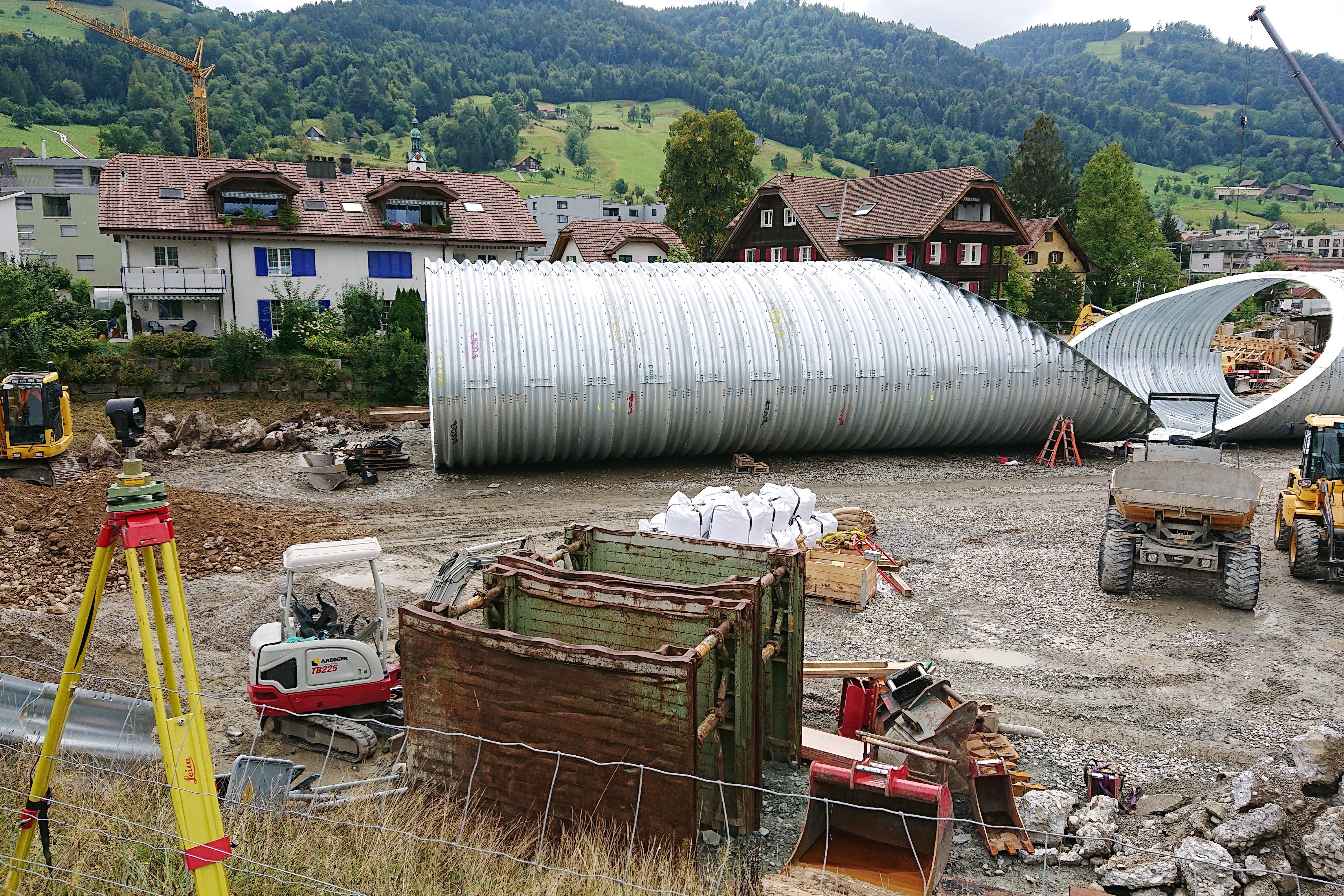
Discover similar projects
By expertise
By industry