Waldenburgerbahn: drone flight and digital model
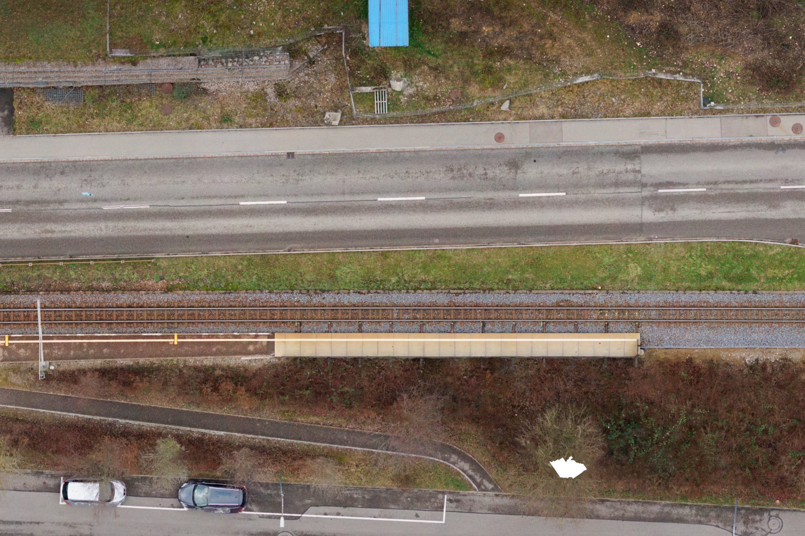
The entire infrastructure of the Waldenburg Railway was renewed. The railroad was also upgraded to meet the requirements of the Disability Discrimination Act. We created the digital terrain model as the basis for project planning.
Are you looking for an experienced partner? We will be happy to advise you.


The renewal project included the track systems, stations, safety systems, overhead lines and traction power supply. To make the planning process more digital and efficient, we took drone images of the entire railroad line. We used the resulting point clouds to model the terrain in 3D. The digital terrain model and the orthophoto were used in all project planning phases.
Our services
- UAV flight
- Control point measurement
- Digital terrain model
- Orthophotos
Client
BLT Baselland Transport AGIndustry
Transportation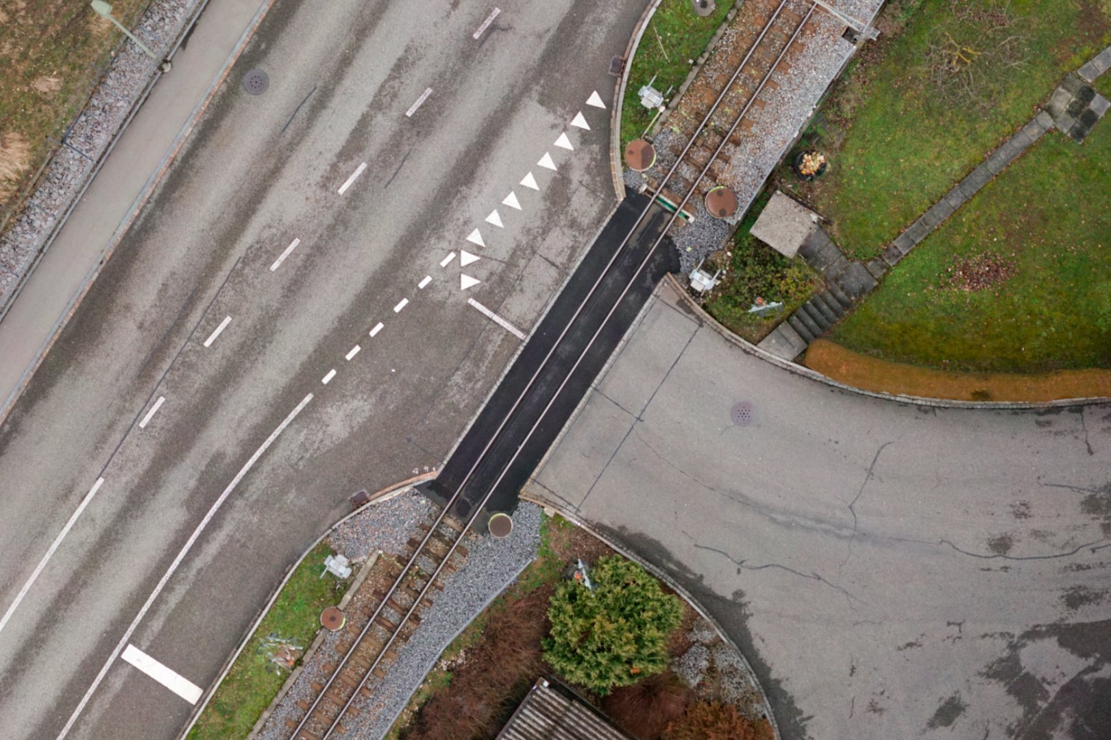
Discover similar projects
By expertise
By industry