Geoinformatics GIS
Basler & Hofmann advises and supports cities, municipalities, the federal government, cantons, works and railroads in the use of GIS geographic information systems for all spatial issues. We are very familiar with the systems from ESRI, QGIS, SAMO/LIDS and FME, but always provide system-neutral advice. Thanks to the broad expertise that Basler & Hofmann brings together under one roof, we combine GIS know-how with specialist knowledge from numerous application areas and develop industry-specific solutions.
From GIS analysis to the complete system
We know and understand the application needs of our clients in the fields of infrastructure, environment, safety, natural hazards, surveying and mobility and are therefore able to provide them with customized support using our GIS expertise: from specific GIS and data analyses to automated geoprocessing, from system decisions to complete GIS solutions.
Our services for you
- Consulting and conception on the subject of GIS and digitization in the construction industry
- GIS analyses for specific spatial issues (e.g. location search, routing problems, risk assessments)
- Design and development of customized overall GIS solutions for desktop, web and mobile devices
- Operation of GIS applications, data services and web GIS solutions in the cloud
- Data modeling and migration, interfaces
- Consulting and support for the design and development of geodata infrastructures
- Data acquisition and preparation from plan bases or using mobile acquisition tools in the field
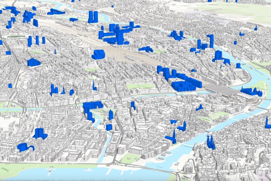
- GIS and 3D objects: Consulting, design and implementation of management and visualization solutions based on ESRI technology
- GeoBIM: Consulting, design and implementation of solutions at the interface between GIS and BIM
Are you looking for an experienced partner? We will be happy to advise you.