Railroad GIS
Reliable GIS systems for railroad infrastructure
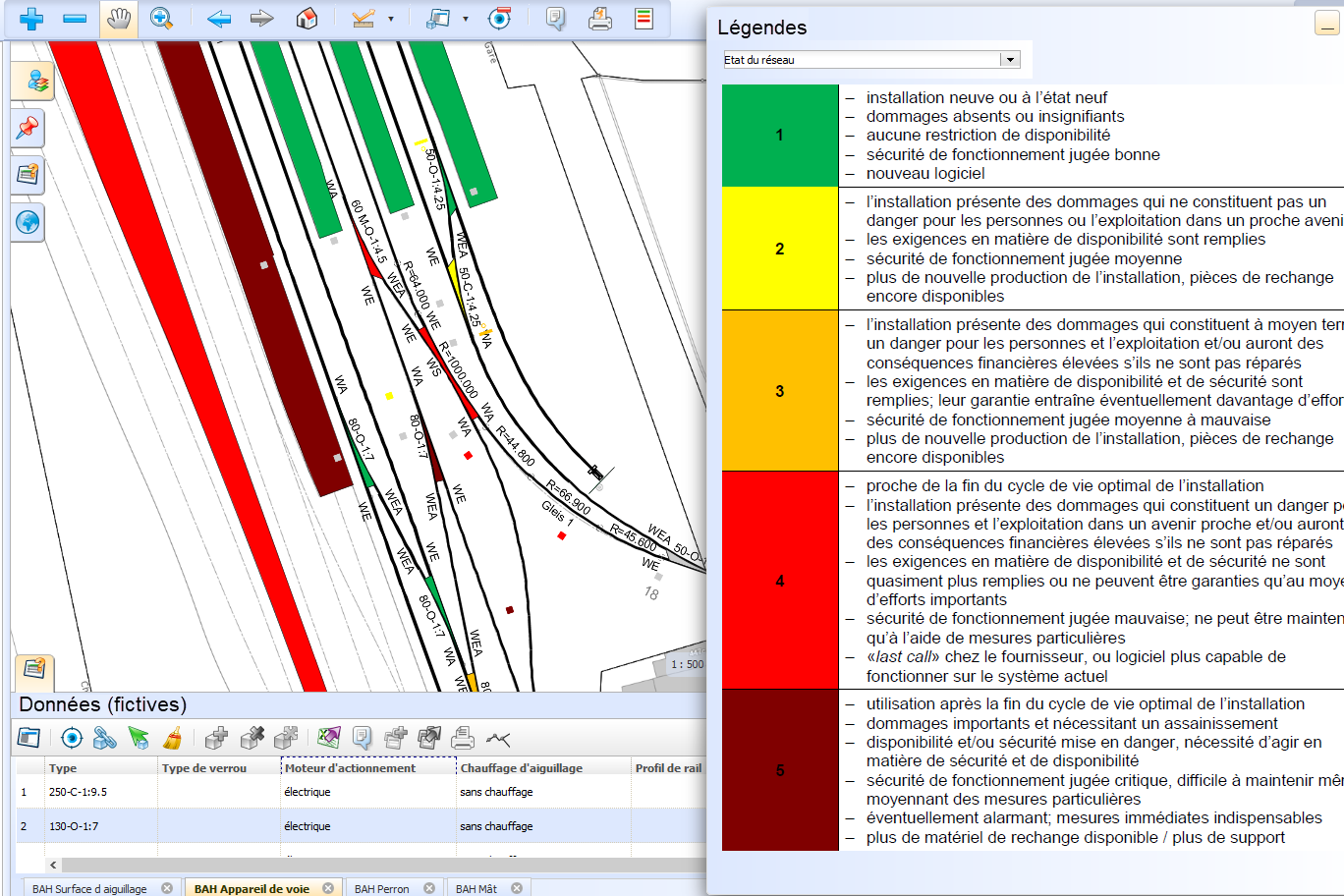
Our geoinformatics specialists and railroad engineers are committed to user-friendly and reliable systems. We have more than 20 years of experience with railroad GIS systems. Today, we build systems based on SAMO/LIDS technology, which combines the management of infrastructure data in GIS with maintenance management processes in a single system. This allows maintenance processes to be mapped and optimally supported with mobile tools for damage management or periodic inspections, for example.
On request, we can take over the entire data management for our customers and provide maps, plans, reports and specific evaluations via a web solution with GIS maps and dashboards. We can also be commissioned to collect and update data. We advise rail operators on the use of IT resources - from the concept to quality and data assurance.
Our services for you
- Consulting for customized railroad GIS solutions
- Development, introduction, operation and maintenance of railroad GIS systems
- Integration of peripheral systems with interfaces
- Import of track axes from third-party systems (Toporail)
- Initial recording and updating of data (railroad infrastructure, power lines)
- Development of optimized processes for maintenance management together with customers and implementation of corresponding tools in the system (e.g. with mobile data acquisition)
- Secure hosting of applications and data on our cloud infrastructure
- Customer support and employee training


