Küsnacht municipality: BIM introduction and projects

With the use of BIM in Roads and civil engineering, the municipality of Küsnacht wants to build up a comprehensive knowledge and project database in the long term that it can use for maintenance. BIM is intended to increase the quality of planning and construction. But that's not all: to date, the quality and remaining service life of the materials installed in the municipality's infrastructure network is often unknown. As a result, good materials are still too often replaced and disposed of in civil engineering projects. In order to save resources, the municipality of Küsnacht is now building up a comprehensive materials database with BIM.
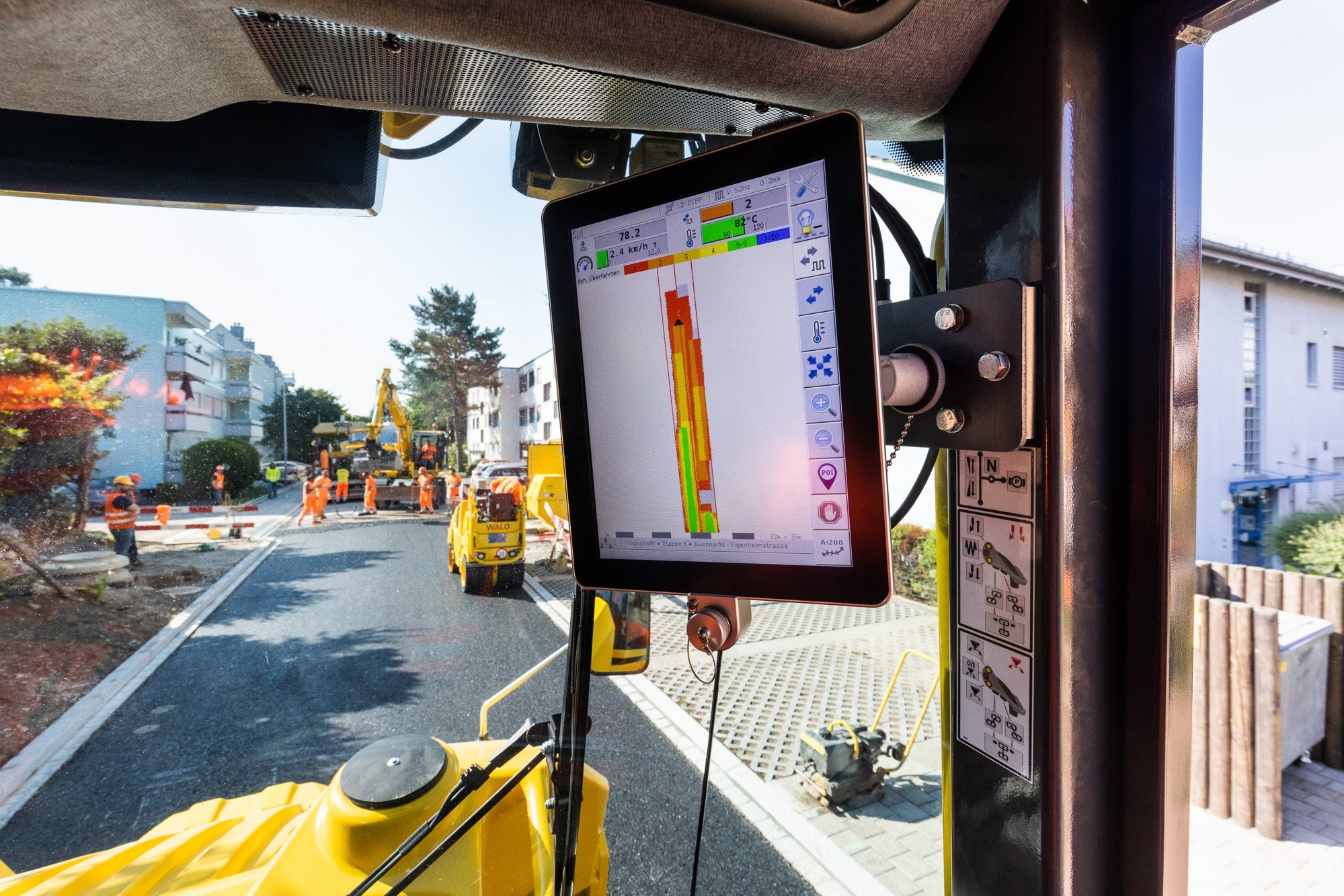
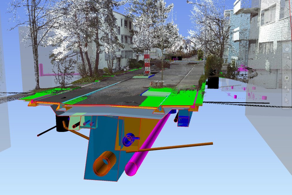
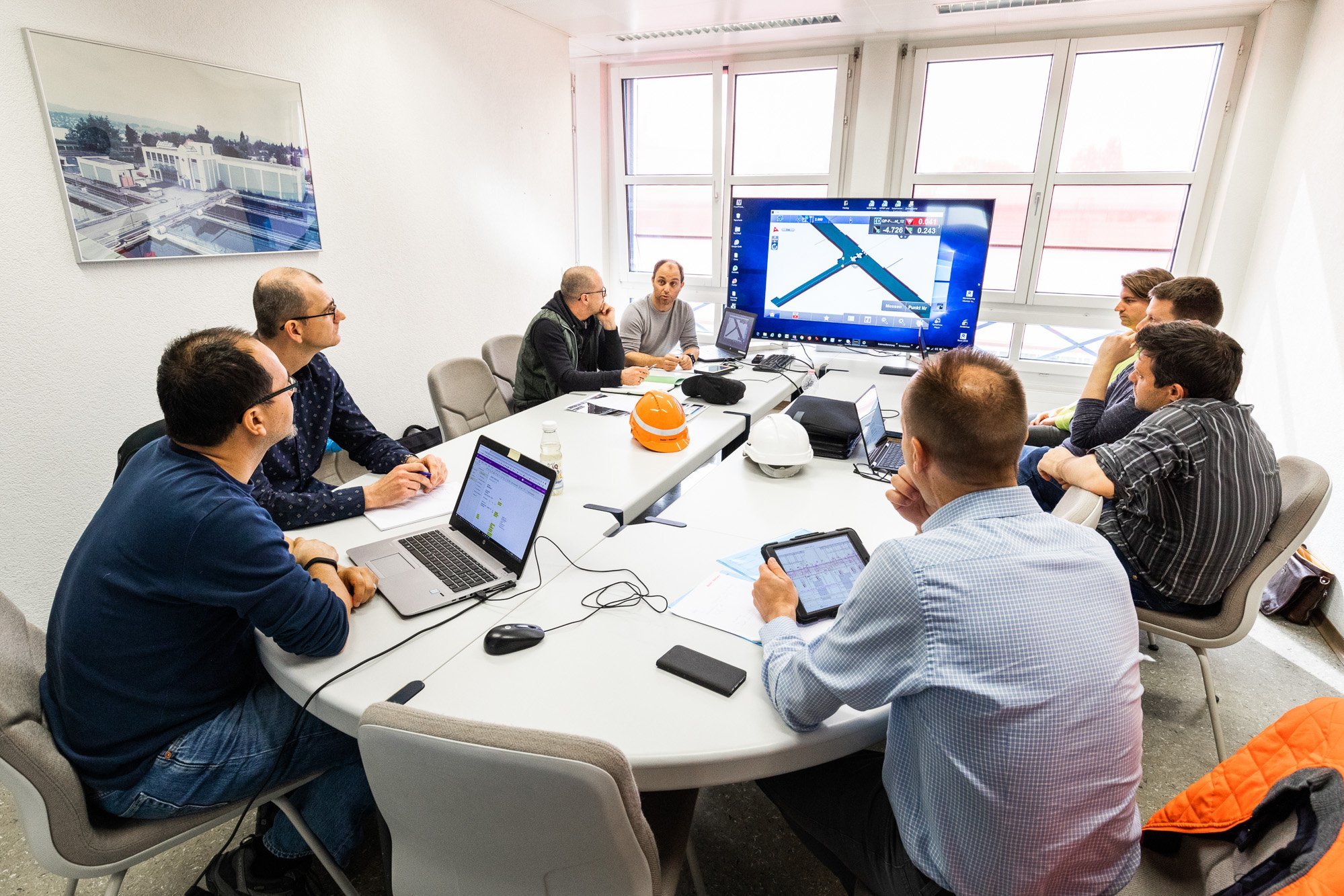
As a pilot project for the municipality of Küsnacht, Eigenheimstrasse was planned entirely in BIM. In the airport apron, the requirements for the BIM process were defined in joint workshops with the municipality and Werke am Zürichsee and documented in a BIM guideline. All project information was accessible to the client, planners and contractor at all times on a central platform. The project was not only planned in BIM, but also built with BIM: for example, the foreman used a total station and tablet to survey from the model. During excavation, the quantities and quality of the gravel sand were also recorded digitally and the layer thicknesses and installation temperature were integrated into the digital model.
BIM has now become standard in the Küsnacht municipality's infrastructure projects. The experience gained from the Eigenheimstrasse pilot project has been incorporated into the municipality's BIM manual with the client information requirements (AIA) and the construction execution plan (BAP). The manual is constantly evolving with the technology and project experience. The municipality has subsequently implemented further projects using this approach. Sustainability continues to be a key factor in project planning: not only is the installed material meticulously documented digitally, Küsnacht also consistently relies on the liquid soil method. This causes up to 50 percent lessCO2 emissions compared to conventional construction methods.
Our services
Overall management, coordination of project participants, regulation of interfaces
Preliminary to construction documents
- Site supervision
- Accompaniment of geological investigations and TV channel recordings
- Surveying bases by means of laser scanning (point cloud)
- Creation of BIM specialist models and coordination model incl. model checks Support and advice for the client in procuring a data platform (CDE) including browser-based viewer Implementation / application of the selected data platform (BIM360)
- Support regarding data feedback / creation of the "as-built model" BIM2Field and Field2BIM during the realization phase


