GIS for municipalities and plants
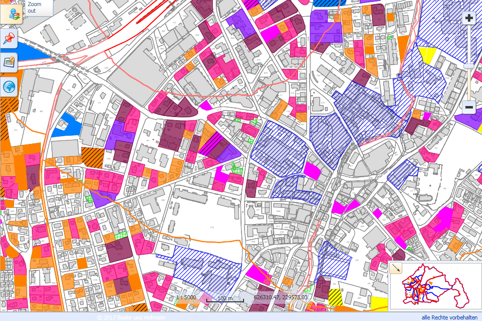
We have been developing customized solutions for municipalities and utilities for almost 30 years. Our expertise covers the entire municipal supply and disposal infrastructure. We advise our customers on all issues relating to the documentation of their utility infrastructure, and we build and operate geoinformation systems for the management, evaluation and visualization of data.
Managed GIS Services
A wide range of specialist knowledge is required to set up and securely operate a geoinformation system for utilities. This ranges from IT infrastructure, GIS technologies and cybersecurity to specialist knowledge in the areas of water, wastewater, gas, district heating, electricity and communications. Basler & Hofmann's GIS team brings all these specialist disciplines together and also takes over the complete operation of the GIS infrastructure on servers in Switzerland as well as first-level support (managed services) for municipalities and utilities.
Our services for you
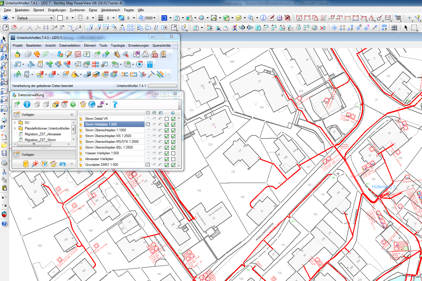
- Consulting, conception, support in questions of legally compliant procurement and project support for plant information systems
- Setup, development, configuration and introduction of GIS systems
- Advice on replacing existing systems and carrying out data migrations
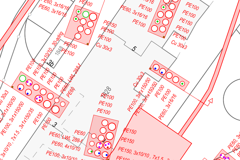
- Initial data entry, data updating, data delivery for project planning
- Interfaces for importing and exporting data (official surveying, line cadastre, etc.)
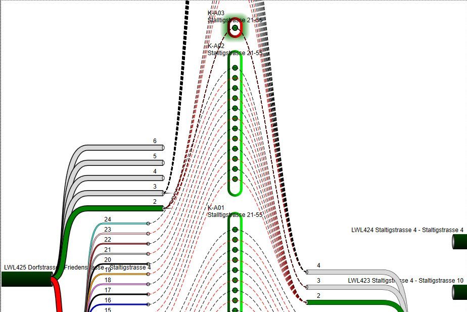
- Project planning and documentation of fiber optic networks (FTTH)
- Simulations, e.g. for the supply situation when renovating line networks
- Managed GIS services: Hosting, operation and support for data, applications and software
- 3D representations and interfaces to BIM
- Solutions for mobile data collection on site, online and offline
- Connection of third-party systems such as ERP, sewer TV, network calculations
- Maintenance management: design and provision of tools that support the maintenance of the systems


