Underwater flood protection

The risk map already predicts flooding of the valley floor at an HQ30. This is due to the insufficient discharge cross-section of the Wilhuser Thur. In the event of flooding, driftwood can further worsen the situation due to blockages at the bridge cross-sections. In particular, the Nasenbach, a tributary, threatens to transport large quantities of debris into the Thur.
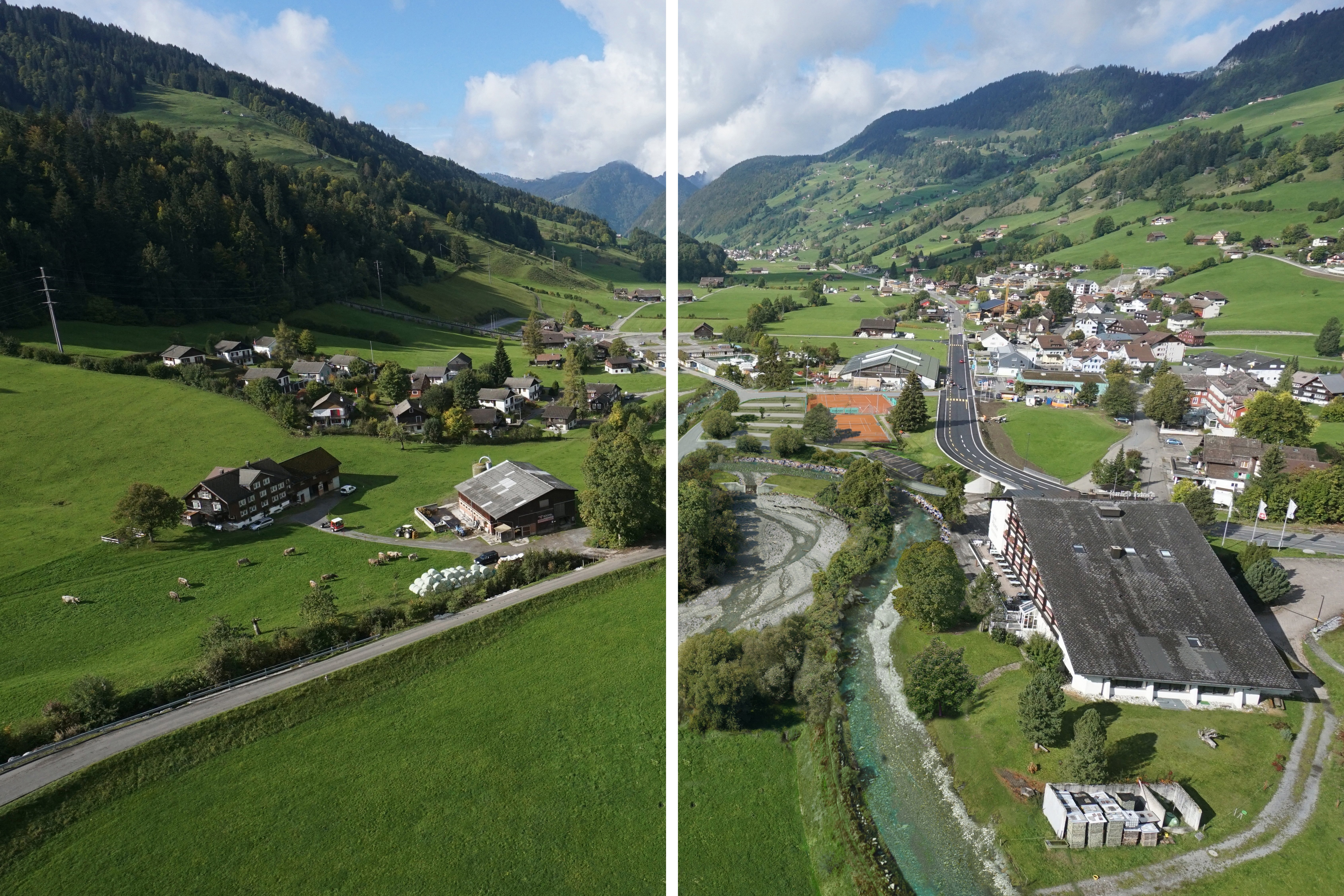
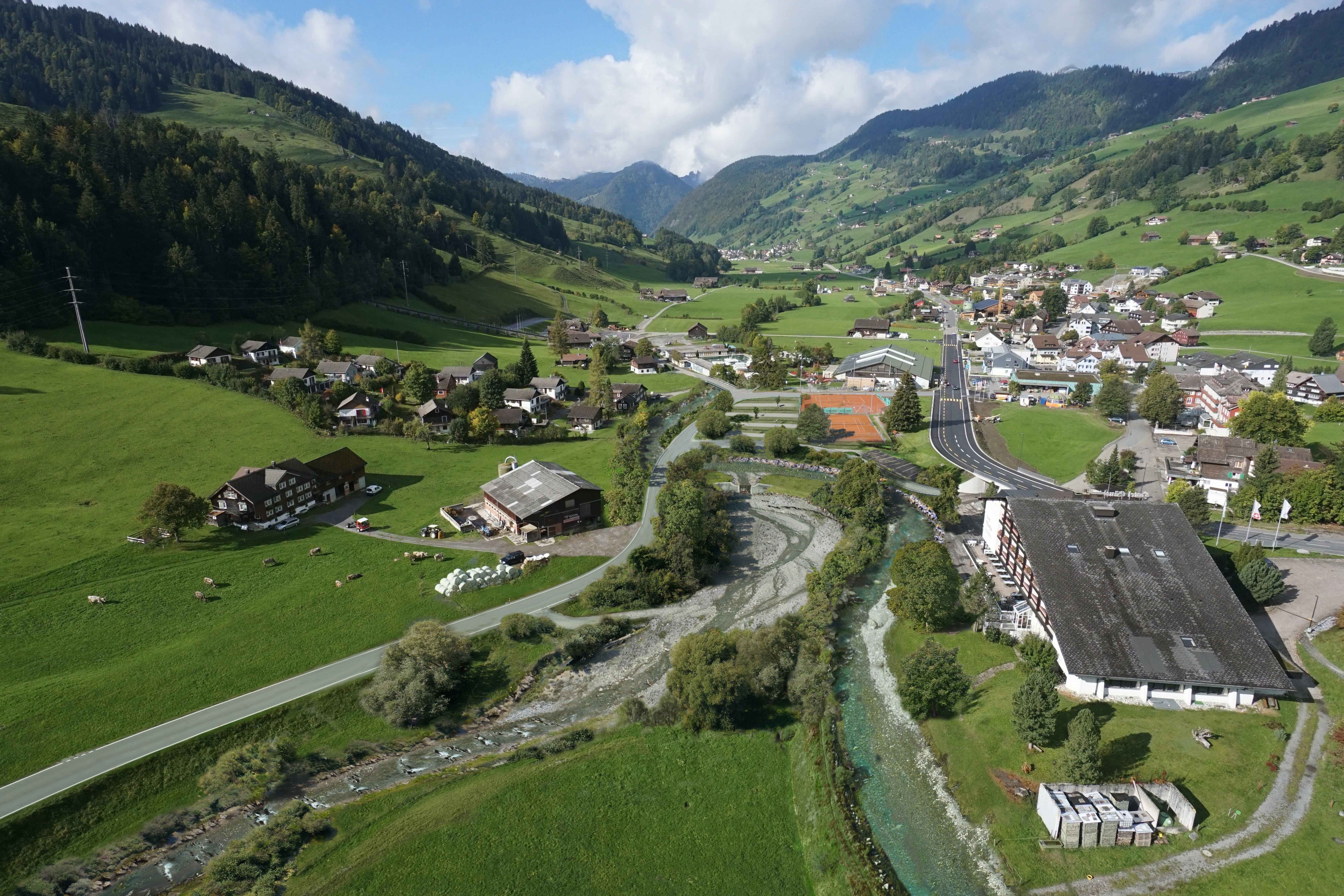
Effective protection against blockages therefore played a central role in the variant study. In the end, two different flood protection strategies were chosen, depending on the characteristics of the two watercourses: The Wildhuser Thur runs along the valley floor and should transport its bed-load completely. Alluvial wood retention was therefore dispensed with. Instead, the channel was widened and the bridge cross-sections were designed to be correspondingly large. The widened channel thus has sufficient capacity to carry a flood including driftwood and bed-load. The situation on the steep Nasenbach is completely different: It delivers coarse bed-load, which can only be partially transported further in the Wildhuser Thur. During major flood events, the bed-load and driftwood are therefore retained in a bed-load collector. The final structure allows partial bedload passage during small events.
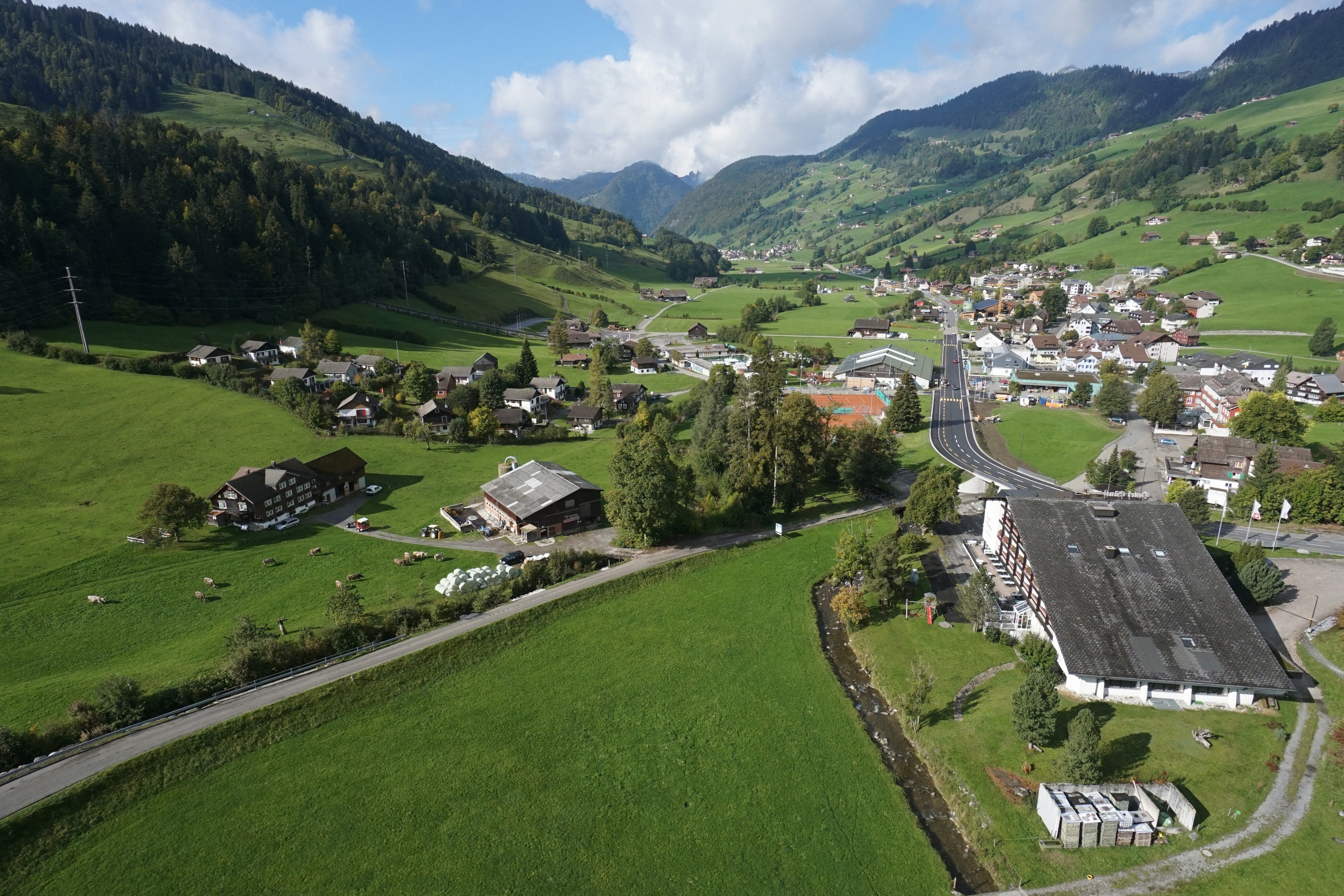
Overall, the flood protection project included the widening of the Wildhuser Thur over a length of around one kilometer, the relocation of the Nasenbach stream, the construction of a larger bedload collector on the Nasenbach stream, the new construction of five bridges and the rerouting of two Roads.
Our services
- Study of variants for bed-load and driftwood retention for Wildhuser Thur and Nasenbach, including estimation of driftwood volume
- Preparation of preliminary and concept design as well as invitation to tender/construction (hydraulic engineering, Bridges and Roads)
- 1D hydraulics calculations
- Planning of revitalization measures, design and ecological enhancement
- Economic efficiency assessment with EconoMe
- Designation of watercourse area
- Preparation of cost allocation and land acquisition plan
- Soil protection and disposal concept
- Surveying by drone
- Communication with the population and residents


