Railroad GIS for Transports Publics du Chablais TPC
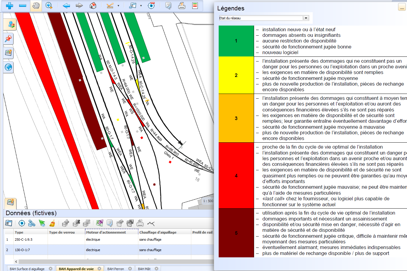
Transports Publics du Chablais (TPC) operates four railroad lines in the Chablais in the cantons of Vaud and Valais. To simplify the management and maintenance of its facilities, the company opted for a railroad GIS. Basler & Hofmann took over the construction of a prototype.

A pilot project was carried out to clarify whether Basler & Hofmann's railway GIS is suitable for managing the network infrastructure. To this end, workshops were held to determine the requirements for the data model and processes. Particular attention was paid to the automatic aggregation of data for the network status report. At the same time, the processes for setting up the railway GIS were tested on a section of track. The pilot project demonstrated the benefits of the GIS for the TPC. The next step is to draw up the detailed specification for the initial survey. The railway GIS should also simplify the maintenance management of the TPC.
Our services
- Development of data management and web GIS
- Integration of existing data from CAD drawings and GPS survey points
- Import of track geometry from Toporail
- Integration of external data via WMS
- Clarification of the processes for data acquisition
- Specification of the requirements for the future system
- Development of the detailed specification together with the client and implementation in the GIS system
Client
Transport Publics du Chablais TPC, AigleIndustry
TransportationDiscover similar projects
By expertise
By industry
