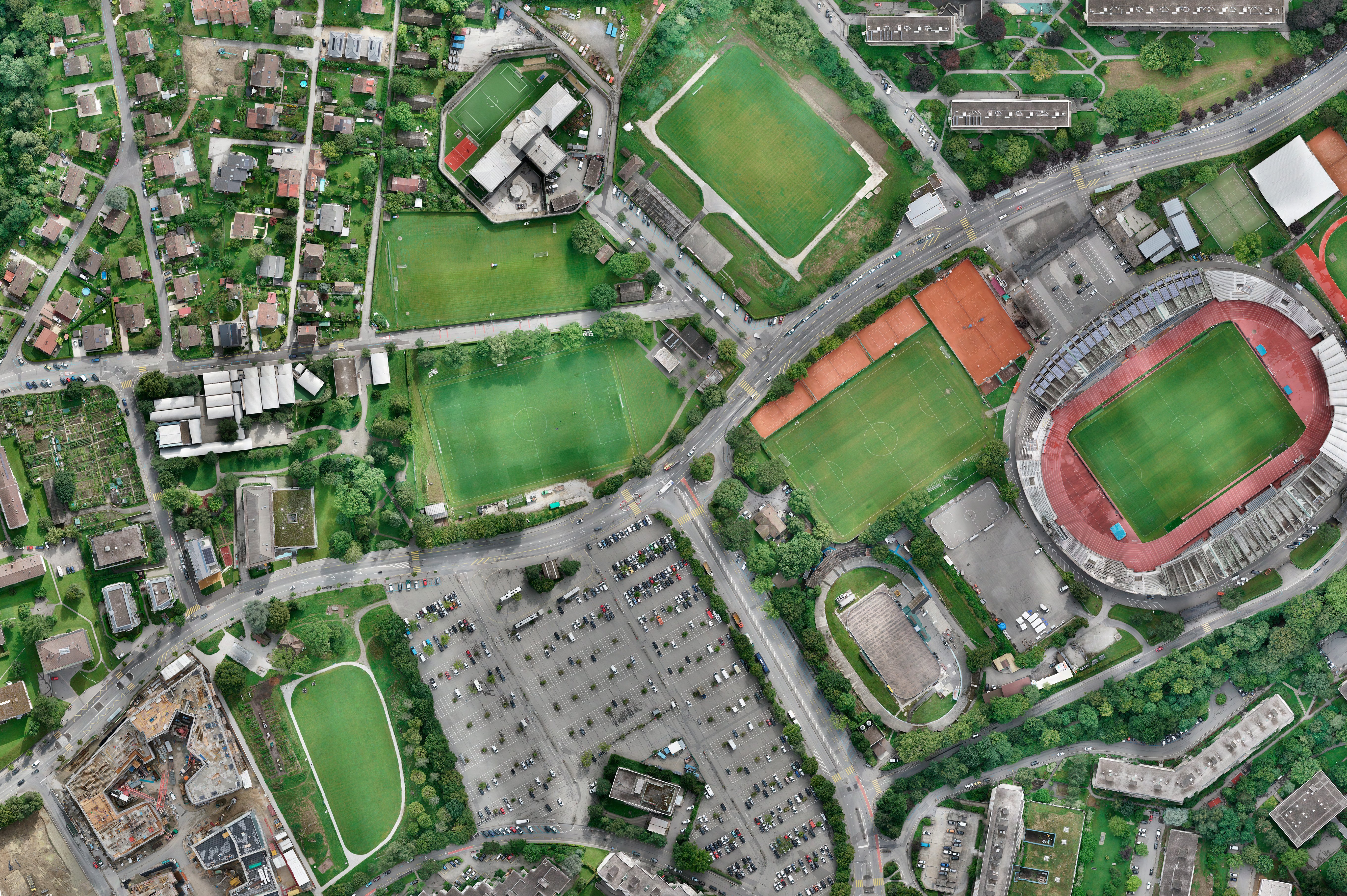
Plaines-du-Loup Lausanne: preliminary studies for utilization plans 2 and 3
The city of Lausanne is developing the Plaines-du-Loup eco-neighborhood to meet the needs of the heavily used Lausanne agglomeration. We carried out comprehensive preliminary studies for the utilization plans for the second and third stages.

The Plaines-du-Loup eco-neighborhood in the north of Lausanne is an example of how new living spaces can be created while taking ecological, social and economic aspects into account. The City of Lausanne is developing successive land-use plans based on the Plaines-du-Loup regional spatial strategies. The preliminary studies for the land-use plans for the second and third stages aimed to define the future topography of the district, material management during construction, rainwater management and Service pipe access in a coordinated manner. This early coordination prior to the realization of the real estate projects is the prerequisite for achieving the sustainability goals.
Our services
- Definition of a strategy for levelling the ground, clarification of interfaces (e.g. supply, traffic)
- Clarification of the framework conditions and the most important restrictions, e.g. low points of existing water collection systems, slopes
- Collection of basic data: Morphology of the terrain, material volume of future backfill and new construction
- Drone flights to create a high-resolution orthophoto
- Development of a precise digital terrain model
- Definition of key elevations to achieve accessibility and open water management objectives at neighborhood level
- Optimization of the levelling strategy with regard to earth movements, accessibility for people with limited urban transportation, open water management, recycling of foundation gravel, positioning of underground garages, etc
- Development of a digital 3D model as a basis for planning
Involved expertise
Site development, Traffic infrastructure, Inventory modeling, BIM infrastructure, Soil protection, District heating, Sustainable buildings and areas, Property protection against flooding, Sponge city, Urban and municipal civil engineeringClient
City of Lausanne, Métamorphose development officeIndustry
Cities / Municipalities
Discover similar projects
By expertise
By industry


